
It was a reasonably flat day. Thank goodness, because it was a long day as it was. We began in bustling Henderson, but fairly quickly got off the busy roads onto quiet back roads. Lots of rambling through large farms again.

I was impressed with Owensboro, KY (population 57,265). It seems progressive, as far as cycling goes. There are extensive bike paths that help you skirt the worst of the traffic and, where you have to ride through town, the bike route is well-labeled with signs and paint on the road. Also, they post "Share the road" signs!
I stopped near the airport for a snack--at a corner of a bike path.

Here's more of the bike path:

Outside Owensboro, we were cycling through the Ohio River floodplain.

Even when I was seemingly quite far from the River, I would pass these signs:

Sobering thought.
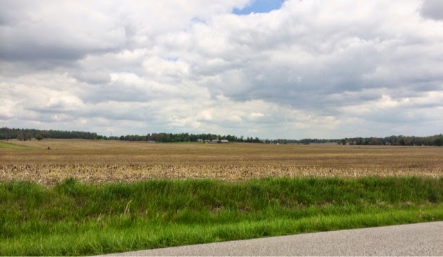
There were times that the land was so flat for as far as I could see in any direction that I felt like I was the tallest thing in the landscape. Weird feeling, and one I definitely don't experience at home.
Lewisport, right on the Ohio River, was quaint and lovely, with a nice park.


Downriver from the park. I believe that is a nuclear power plant on the Indiana side.

Upriver from the park. Notice the high water along the shore.

After cycling through so much flatland, it's weird to come upon something this huge. I believe this is a cement factory/plant.

We're at Vast Woods County Park in Hawesville, KY, tonight. Long day tomorrow; similar number of miles, with many steep hills.
Today's route, part 1:

Part 2:

Part 3:

No comments:
Post a Comment